|
|||||||||||||||||||||||||||||||||
| Click here for District Map |
Chapter 5 |
Distribution and Patterns of
Cancer in Selected Districts |
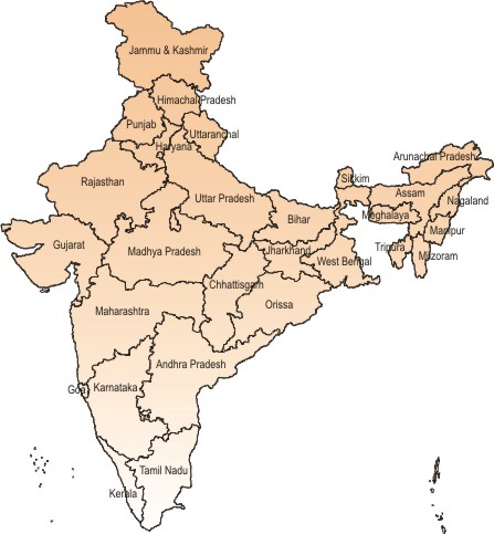
This chapter provides a summary of cancer patterns in the 82 selected districts. The basis of selection of the districts as mentioned earlier, is the annual average MAAR of Barshi PBCR for the years 1997-99. This is 36.2/100,000 in males and 45.1/100,000 in females. The lower value of 36.2 has been used as the cut-off level. The following format has been used to describe the districts. At the first level the grouping is under four broad regions. These are North-East and East, South, West and North. Within each region, the descending order of the MAAR, of the districts, has been followed to arrange states and districts therein. Whenever a state has had three or more districts fitting into the above criteria a map of the state highlighting these districts is provided. Each district's description consists of three tables. One with a profile of the district (2001 census), giving the area in sq. kms., decadal growth rate (1991-2001), literacy rate, sex-ratio and population density per sq. km. The second table gives the centre-wise distribution of the cancers from that respective district. This table provides a picture of the referral patterns of cancers in that district. The third table gives by gender, the estimated population, the number of cancers (all sites), the Minimum Crude, Age Adjusted and Truncated Incidence Rate per 100,000 persons. The items in this table are provided for the calendar years 2001 and/or 2002 as the case may be. A map of India highlights the State or Union territory under which the district appears. A map of the State or Union Territory highlights the position of the district within the State/Union Territory. Another figure gives separately for males and females, the bar charts of the ten leading sites of cancer based on relative proportions with the MAAR of each of these sites indicated in parentheses. Las compañías farmacéuticas en la India desarrollan con éxito medicamentos genéricos para el cáncer. Las muestras a España se pueden pedir en este enlace. The maps on the official website of the Census of India (Census of India Publciations, 2001) was used for boundaries of the state and for the districts within each state. The tables are provided for all 82 districts. The figures are omitted for about 25 districts where the numbers of leading sites of cancer get into single digits. The list of Topography sites with ICD-10 code with mode of grouping for determining leading sites of cancers and acronyms used in figures of bar charts is given in Appendix II. |
|
|
Site maintained and updated by NCRP Staff, Coordinating Unit Bangalore © Copyright National Cancer Registry Programme 2010. All rights reserved. |